Environment Agency River Gauge
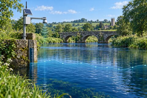
Reads the latest stage and flow telemetry from Environment Agency monitoring
station 2200TH in England. The full response view provides the parameter,
qualifier, unit, reporting period, timestamp, and value for each measure.
This graph is keyless and read-only. It requests at most ten readings, applies a second local limit of ten, and uses a 20-second timeout and 300 KB response cap. The public API generally receives new measurements at 15-minute intervals, but individual station transfers can be less frequent and responses may be cached. Run the graph again to fetch a newer snapshot.
Expected outputs are readings, provider status, and a JSON response. Bind
readings to a Table panel. mASD is metres relative to the station’s local
datum; it is not elevation above sea level. This beta feed has no service-level
guarantee and must not replace official flood warnings or safety channels.
Source: Environment Agency real-time flood-monitoring API. This uses Environment Agency flood and river level data from the real-time data API (Beta), available under the Open Government Licence. The endpoint was live-tested on September 21, 2026.